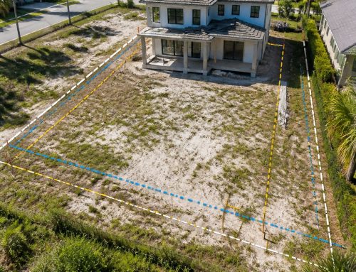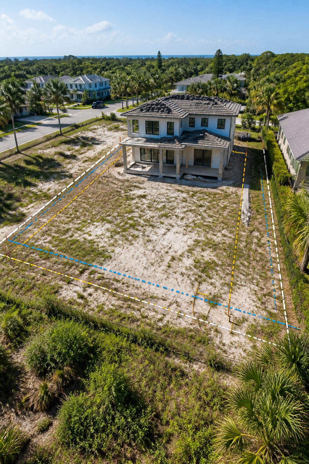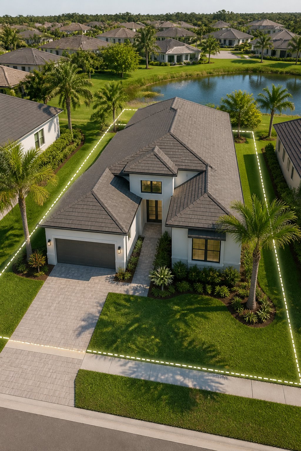
You can get a clear answer and a plan quickly by working with the right local professionals: a licensed land surveyor to confirm lot lines and elevations, a designer or architect to create a fitting footprint, and the county planning or zoning staff to verify setbacks and permit rules. These experts will tell you whether your house design fits the lot, what adjustments are needed, and what permits or variances you may need.
Start by verifying your parcel boundaries and any elevation or flood-zone constraints, then bring a layout to a designer or architect who understands St. Johns County rules. Contact county planning or the Development Review team when you have a plan so you avoid surprises during permitting and construction.
Key Takeaways
- Confirm property lines and site conditions first with a licensed surveyor.
- Use a local architect or designer to adapt the home footprint to the lot.
- Check county planning and permitting early to prevent delays.
Key Experts and Resources for Ensuring Lot and Home Compatibility
You need clear answers about setbacks, permitability, and buildability so you can avoid redesigns, delays, and unexpected fees. The next resources show who to contact, which permits matter, and how to track reviews and approvals.
St. Johns County Building Department: Permitting Guidance
The St. Johns County Building Department issues the building permits and enforces the codes that determine whether your proposed house fits the lot. Start by confirming zoning, minimum setbacks, maximum height, and any overlay rules with the department before final plans. Use their online pages for the Building Department to find application forms, submittal checklists, and contractor licensing requirements.
When you submit plans, the department coordinates plan review and inspections. Expect clearance sheets for residential permits (zoning, driveway, flood, coastal line) and follow the One-Stop permitting option if your plans received only minor comments. Keep a copy of your permit application number and the assigned plan review comments to speed resubmittals.
Role of Custom Home Designers and Contractors
A licensed custom home designer or a contractor familiar with St. Johns County translates zoning limits into a buildable plan. They create site plans showing building footprint, setbacks, easements, driveway location, and grading. Ask them to check parcel-specific constraints such as conservation buffers, flood elevations, and utility easements before finalizing the design.
Choose contractors with active contractor licensing in Florida and local experience to handle permit-ready drawings and manage the plan review cycle. They can create a private account with the county if available to upload plans, respond to plan-review comments, and schedule inspections — reducing back-and-forth and preventing scope changes after permit issuance.
Working With the Property Appraiser and Using Parcel Data
Use the St. Johns County Property Appraiser to find accurate parcel details: parcel ID, lot dimensions, legal description, assessed acreage, and recorded easements. Pull the parcel boundary and tax-roll data to confirm lot square footage and any recorded restrictions that might affect buildable area.
Cross-check the appraiser’s parcel data with your site survey. The survey should include the parcel ID, boundary bearings, and any FEMA flood zone information. If the parcel has split ownership, multiple tax parcels, or irregular easements, resolve those issues with a title company or surveyor before submitting plans to avoid permit delays.
Overview of Online Permitting and Permit Status Tools
St. Johns County provides online tools to track permit status, review comments, and view the Development Tracker map for active projects. Create or use a private account on the county’s permitting portal to upload plans, receive electronic plan-review remarks, and monitor inspection scheduling. This minimizes phone calls and keeps all permit documents centralized.
Look for features that show plan-review status, outstanding corrections, and inspection records. If you see repeated review comments about setbacks, lot grading, or drainage, address those items directly with your designer or contractor before resubmitting. Use the Development Review pages to understand permit types and procedural steps for both residential plan review and clearance sheets.
Understanding County Regulations and Planning Requirements
You need to know which rules set setbacks, lot coverage, and permissible uses; you also need to understand plan-level policies and any special overlays that add restrictions or approvals.
Land Development Code and Zoning Districts
The Land Development Code (LDC) is the legal rulebook that governs setbacks, lot coverage, building height, and permitted uses on your property. Start by identifying your zoning district using the county’s zoning map; the district name (for example RS-1, RS-2, OR, RMH) determines base setbacks and side/rear yard requirements.
Read the LDC sections for accessory structures, fencing, and parking because they often impose limits beyond building setbacks. If your project needs an exception, the LDC defines procedures for variances and special use permits and lists required submittals.
You will often interact with the Building Official and Zoning staff during plan review. Ask them early for zoning confirmation and a list of required documents to avoid re-submittals.
Comprehensive Plan and Development Review Manual
The Comprehensive Plan establishes long-range goals for land use, concurrency, and infrastructure that affect whether and how your lot can be developed. Check the plan for future land use designations and mobility or utility policies that could require off-site improvements or concurrency compliance.
Use the county’s Development Review Manual to understand application timelines, checklist items, and review phases. The manual shows when Development Review Committee comments arrive and what technical reports (traffic, stormwater, wetlands) you may need.
Submit complete packages to the county’s permit portal to trigger formal reviews. Missing items commonly delay approvals, so follow the manual’s checklist and the Development Review comments closely.
Special and Overlay Districts: Unique Restrictions
Special districts and overlays (for example Ponte Vedra Zoning District or other locally designated special districts) impose additional standards such as reduced heights, stricter landscaping, or unique design criteria. Determine whether your lot lies within an overlay before finalizing plans.
Overlays can change allowed uses or require design review boards, corridor standards, or additional notice to neighbors. Special uses—like home-based businesses, kennels, or additional pets—often need a Planning and Zoning Agency hearing and specific submittals such as mailed notices and stamped envelopes.
If your lot is inside a historic or coastal management overlay, expect extra permitting steps and possible coordination with state agencies.
Essential Clearance Sheets and Approval Steps
Clearance sheets document required sign-offs (zoning, engineering, utilities, fire, environmental) before the Building Official issues a permit. Identify the specific clearance sheet types for your project early; common ones include zoning clearance, engineering/stormwater, and utility/service clearances.
Follow a checklist to collect approvals in sequence: submit plans, respond to Development Review comments, obtain technical clearances, then secure final sign-offs for the Building Official. The county offers online tracking for review status—use it to monitor pending clearance sheets and announcement updates from reviewers.
Keep copies of all stamped approvals and the clearance sheet with your job file. Inspectors will check approvals on-site, and missing clearances commonly cause failed inspections or work stoppage.