Why Custom Design Matters for Your Next Home
Your home should support the way you live, not force your routines into someone else’s layout.
Custom home design gives you greater control over your lot, priorities, space requirements, materials, and long-term comfort than online stock plans or a contractor spec home.
Stock plans can save time and provide a useful starting point. A spec home offers convenience and predictable features.
Both options may require compromises involving room sizes, storage, natural light, energy performance, or how the home fits your property.
A thoughtful custom design helps you weigh those trade-offs before construction begins.
As you compare home plans, you’ll see where customization creates meaningful advantages and how stock plans and spec homes differ.
Where Custom Design Creates Meaningful Advantages
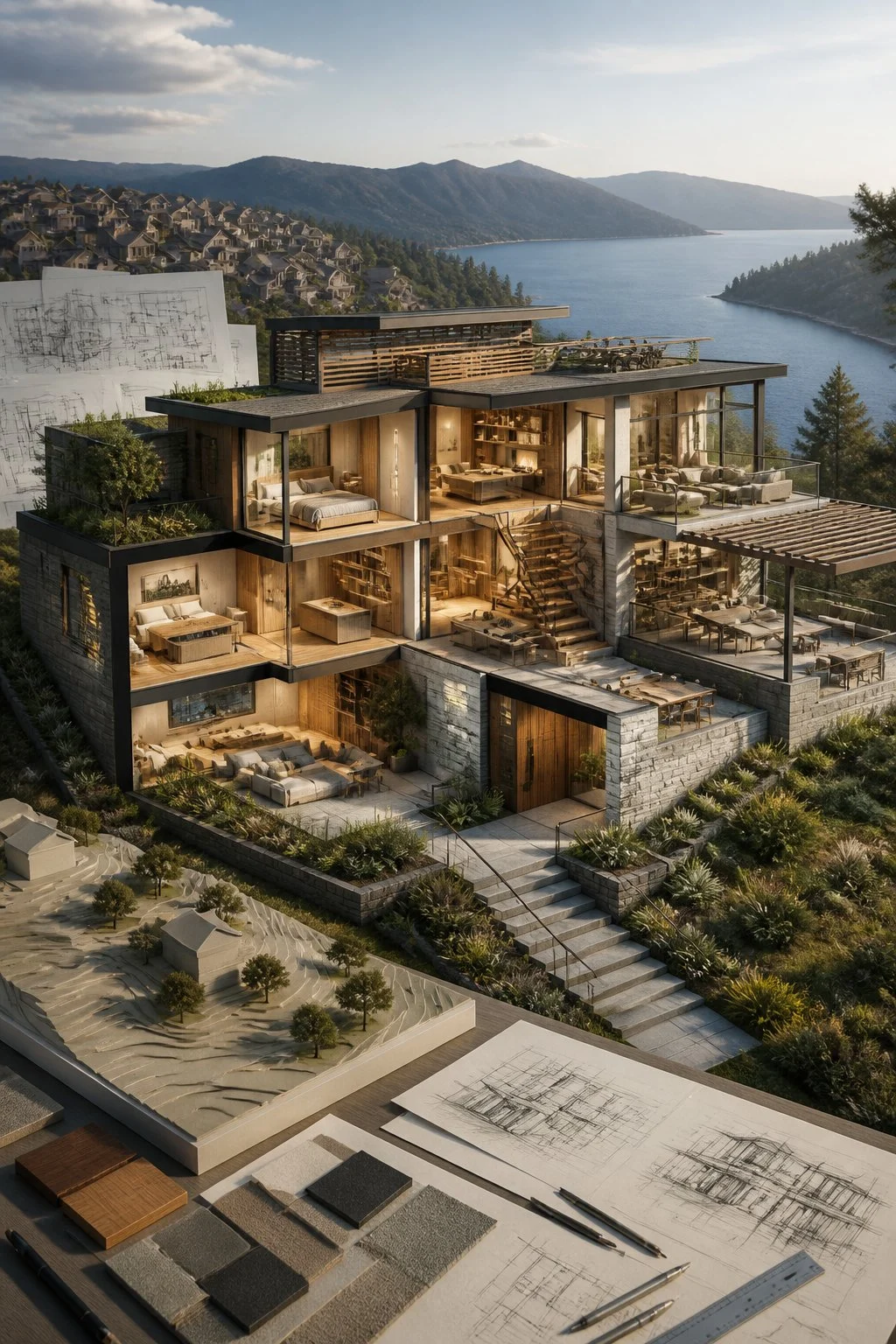
Custom design connects your home’s layout, structure, and systems to the way you live and the conditions of your property.
It can address site constraints, daily routines, accessibility needs, energy goals, and local approval requirements more precisely than an online stock plan or contractor spec home.
Designing Around Your Lot, Lifestyle, and Future Needs
Your lot should influence the design from the beginning.
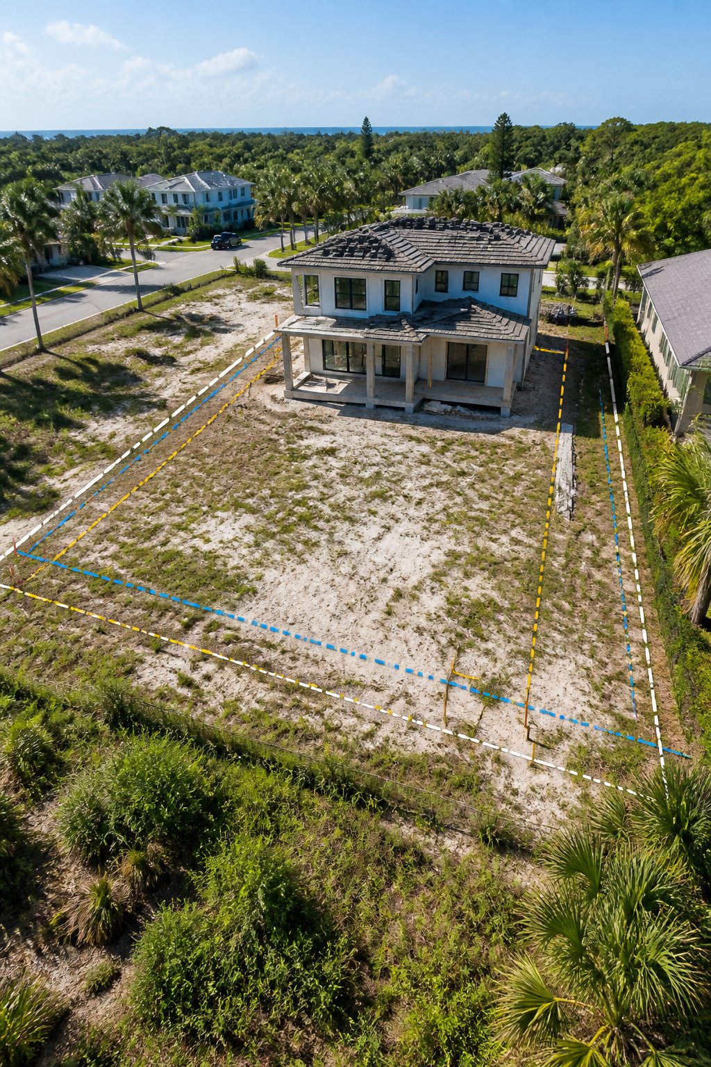
Topography, setbacks, drainage, views, solar exposure, access, and existing trees can affect the home’s placement, number of stories, foundation design, driveway, and front elevation.
Custom house plans let you respond to actual lot conditions instead of forcing a standard footprint onto the property.
Your household needs should shape the custom home plans as well.
You might need a quiet home office, a larger mudroom, a three-car garage, or bedrooms and bathrooms arranged for multi-generational living.
Planning for aging in place may involve a first-floor primary suite, wider hallways, fewer level changes, and a bathroom designed for future grab bars.
A custom floor plan also gives you room to plan for change.
You can reserve space for an elevator shaft, create a flexible bedroom, or design the garage and storage areas around your equipment and vehicles.
These decisions can reduce expensive alterations later.
Creating a More Functional Layout and Better Daily Living
A custom home should support how you move through it each day.
Rather than choosing predetermined room sizes, you can set the proportions of the bedrooms, bathrooms, kitchen, great room, primary suite, and storage areas according to your routines and furniture.
You can also control relationships between spaces.
A mudroom near the garage can contain durable flooring, seating, and organized storage.
A home office can sit away from the great room for better concentration, while the kitchen can connect to dining and outdoor areas if you regularly host guests.
Good floor plans manage circulation as carefully as square footage.
Your designer can reduce unnecessary hallways, separate noisy and quiet zones, improve sightlines, and place bathrooms where occupants can reach them without crossing private areas.
A custom layout may also improve furniture placement, daylight access, and everyday storage without simply adding more area.
Planning for Performance, Compliance, and Construction Clarity
Custom design gives you a structured way to address energy efficiency and construction requirements before work begins.
Your architect, licensed architect, residential designer, or home designer can coordinate insulation levels, window placement, air sealing, mechanical spaces, and possible solar panels with the orientation and shape of the home.
The plans must also respond to local building codes, zoning rules, site requirements, and the applicable version of the International Residential Code (IRC).
A qualified professional can identify requirements for structural components, fire separation, stairs, egress windows, ventilation, and accessibility where applicable.
Code compliance remains a shared responsibility among the design team, builder, and permitting authorities.
Detailed documents help your custom home builder build the project accurately.
Clear dimensions, elevations, material notes, structural information, and system locations reduce assumptions between you, the architect or designer, and the home builder.
A well-coordinated plan cannot eliminate every change, but it can expose conflicts before construction makes them costly.
How Stock Plans and Spec Homes Compare
A stock plan can reduce upfront design work, while a spec home can simplify purchasing and shorten your decisions.
Both options may limit how well the home fits your lot, routines, HOA rules, future needs, and resale goals.
When a Stock House Plan Can Be a Practical Choice
A stock house plan can work well when you own a conventional lot and find a layout that needs few changes.
Online catalogs offer many stock house plans, including modern farmhouse designs, ranch homes, and compact two-story layouts.
You can compare square footage, bedroom counts, garage sizes, foundation types, and exterior styles before paying for a custom house plan.
Review the plan package carefully.
Eplans may include different drawing formats, but they typically do not replace site-specific engineering, energy calculations, or local permitting work.
Your builder, drafter, or local design professional may need to adjust the documents for soil conditions, snow loads, wind requirements, setbacks, and local amendments.
Confirm that the stock floor plan fits your actual property before you buy it.
Check the building envelope, driveway access, utility locations, slope, drainage, and sun exposure.
You should also review HOA rules, which may control roof pitch, exterior materials, garage placement, window proportions, and minimum square footage.
The Hidden Costs of Adapting Online Plans
The advertised price of a stock plan rarely represents the complete design budget.
You may need to pay for plan modifications, structural engineering, foundation revisions, energy documents, site plans, and permit corrections.
A basic change, such as moving a non-load-bearing door, usually costs less than relocating a kitchen, bathroom, stairway, or structural wall.
Changes can also create related revisions.
Moving a kitchen may affect plumbing routes, cabinet dimensions, electrical layouts, ventilation, roof framing, and exterior windows.
Enlarging the home can alter trusses, foundations, mechanical capacity, setbacks, and construction quantities.
Ask for a written estimate before purchasing.
Include the plan license, modification fees, local drafting, engineering, surveys, permitting, and builder review.
If you expect to change the roofline, reorganize major rooms, or substantially alter the footprint, compare the total with custom design fees.
Starting with custom home designs may provide better control when the modification list approaches a complete redesign.
Evaluating Spec-Home Trade-Offs Before You Commit
A contractor spec home gives you fewer design decisions because the builder selects the house plans, finishes, systems, and commonly requested features.
That approach may provide a clearer purchase price and faster schedule, but you may accept compromises in storage, room relationships, window placement, accessibility, energy performance, or home-office space.
Inspect the specifications rather than relying on the model-home appearance.
Ask which appliances, lighting fixtures, flooring, landscaping, window coverings, and connections the price includes.
Confirm allowances, upgrade charges, warranty terms, completion dates, and the process for correcting defective work.
A spec home may suit you if location, timing, and predictable purchasing matter more than personalization.
It may not suit you if the lot orientation, household needs, or long-term mobility requirements demand a different layout.
You should also check whether the neighborhood’s HOA rules restrict later additions, exterior changes, fences, detached structures, or solar equipment.
Choosing the Right Design Path for Budget and Resale
Compare each option using the same categories: design cost, construction cost, schedule, fit, operating costs, and resale value.
A stock plan may have a low purchase price but require modifications.
A custom home design may cost more initially while reducing wasted space, difficult site adaptations, and changes made during construction.
For resale, prioritize broadly useful features such as practical storage, a functional kitchen, adequate natural light, durable materials, and flexible rooms.
Avoid assuming that additional square footage automatically increases value.
Local buyers may value an efficient three-bedroom layout more than an oversized house with awkward circulation or excessive maintenance.
A custom design should respond to your site without becoming so personal that future buyers cannot use the space.
If you choose a stock floor plan or spec home, reserve part of your budget for site-specific corrections and essential upgrades rather than cosmetic features that do little to improve function.
Frequently Asked Questions
Custom design lets you align the home with your site, routines, budget, and long-term priorities.
It can also improve energy performance and reduce compromises that often come with fixed plans or builder-selected layouts.
What are the main advantages of a custom home design over a stock house plan?
A custom design responds to your lot, views, climate, household size, accessibility needs, and preferred rooms.
You can place windows for daylight and privacy, adjust ceiling heights, and plan storage around the way you use each space.
Stock plans offer a faster starting point and may cost less, but they might require modifications to meet local setbacks, codes, site conditions, or your functional needs.
Stock plans and custom designs also differ in how much adaptation they allow.
How does custom design improve a home’s functionality for my lifestyle?
You can design circulation, room relationships, and storage around your daily routines.
For example, you might connect the garage to a mudroom and pantry, place a home office away from high-traffic areas, or create wider clearances for mobility.
A custom plan can also accommodate multigenerational living, frequent entertaining, hobbies, pets, or future changes.
These decisions help you avoid paying for rooms or layouts that do not support your household.
Are custom home plans more expensive than online plans or contractor spec homes?
Custom plans typically require more design work than online plans, so the upfront fee can be higher.
Custom and stock plan costs should not be treated as a quote for your project.
A contractor spec home may have a lower initial price because the builder repeats a predetermined design and buys materials at scale.
Upgrades, plan changes after construction begins, unused spaces, and future remodeling can affect the final cost.
Can a custom-designed home be more energy-efficient and cost-effective over time?
Yes.
Your designer can orient the home for solar exposure, limit unwanted heat gain, place windows strategically, improve insulation and air sealing, and coordinate efficient heating, cooling, lighting, and water systems.
The design must work with your climate, site, construction budget, and equipment choices.
Energy modeling or an energy consultant can help you compare options before construction, when changes usually cost less than retrofits.
How much flexibility do I have to personalize a custom home design?
You can usually personalize the footprint and room sizes. Circulation, window placement, and exterior character can also be customized.
You have choices in finishes, storage, lighting, technology, and structural features. You can design around an unusual lot or a specific view.
Requirements such as a first-floor bedroom and accessible bathroom can be incorporated. Your flexibility still depends on zoning, setbacks, easements, and building codes.
Site conditions, structural requirements, budget, and material availability also play a role. A qualified local professional can help verify which ideas your property can support.
What limitations should buyers consider with contractor-built spec homes?
A spec home follows a builder’s predetermined design and usually offers limited changes to the floor plan.
You may choose from available finishes or upgrades.
Moving walls, changing structural elements, or relocating plumbing can be difficult or unavailable.
You also have less control over how the home responds to your lot and routines.
Spec homes can provide a shorter timeline and conventional mortgage financing.
Custom construction generally takes longer and may require construction financing.